Placering
Område beskrivelse og anvisninger til de vigtigste attraktioner for Hacienda Santa Rosa.
- Merida, Yucatan, Mexico (MID-Manuel Crescencio Rejon Intl.) - 36.13 mi - Få rutevejledning »
- Campeche, Campeche, Mexico (CPE-Ing. Alberto Acuna Ongay Intl.) - 60.31 mi - Få rutevejledning »
- Estacion San Bernardo - 8.18 mi
- Estacion Halacho - 8.34 mi
- Estacion Yuncu - 30.70 mi
- Estacion Xcanchakan - 37.15 mi
- Estacion Hunabchen - 37.30 mi
- Estacion Chuburna - 38.48 mi
- Bus Station - 38.98 mi
- Estacion Cordemex - 42.89 mi
- Estacion Managua - 44.43 mi
- YaxcheEstacion - 44.96 mi
- Estacion Xucu - 52.53 mi
- Estacion San Rafael - 55.99 mi
- Mundo Maya Museum - 42.53 mi
- Star Medica Clinic - 43.70 mi
- Parque Natural Ria Celestun - 24.83 mi
- La Mejorada Park - 39.99 mi
- Merida Cathedral - 39.64 mi
- Dzibilchaltun Archeological Site - 46.62 mi
- Kukulcan Stadium - 39.86 mi
- Montejo Avenue - 40.15 mi
- Altabrisa Mall - 43.86 mi
- Yucatan Golf Club - 45.79 mi
- Lepan - 38.84 mi
- Main Square - 39.58 mi
- Conventions Center Century XXI - 42.46 mi
- Chixulub - 52.45 mi
- Yukalpeten - 53.77 mi
- Santa Lucia - 62.04 mi
Lufthavne Vis alle tog stationer på kortet »
Transportere
Togstationer Vis alle tog stationer på kortet »
Museer
Kunstgallerier Vis alle tog stationer på kortet »
Hospitaler
Hospitaler Vis alle tog stationer på kortet »
Andre steder af interesse
National Parks Vis alle tog stationer på kortet »
Historical Buildings Vis alle tog stationer på kortet »
Stadiums, Arenas, and Racetracks Vis alle tog stationer på kortet »
Famous Streets Vis alle tog stationer på kortet »
Shopping Center Vis alle tog stationer på kortet »
Golf Courses Vis alle tog stationer på kortet »
Other Vis alle tog stationer på kortet »
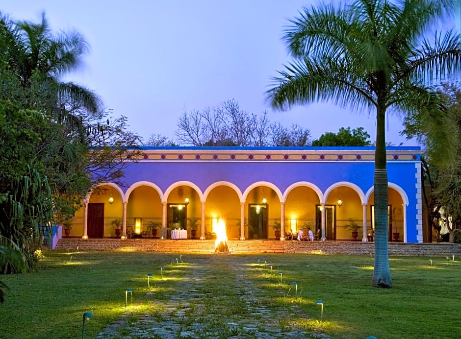
Hacienda Santa Rosa
Carretera Merida Campech Desviacion, Maxcanu, 97800, Mexico
Kan ikke få rutevejledning
Byt rundt på startstedet og destinationen »
Se alle billederne i galleriet